AIR is a leader in GIS and Remote Sensing with over five years of experience. Our expert team works with both public and private sectors, specializing in database development and analysis to make project details clear for clients. We collect satellite images, conduct ground verification, and identify key patterns in areas like terrain, land cover, water resources, and human settlements. Our services span environmental management, urban planning, traffic management, and municipal services
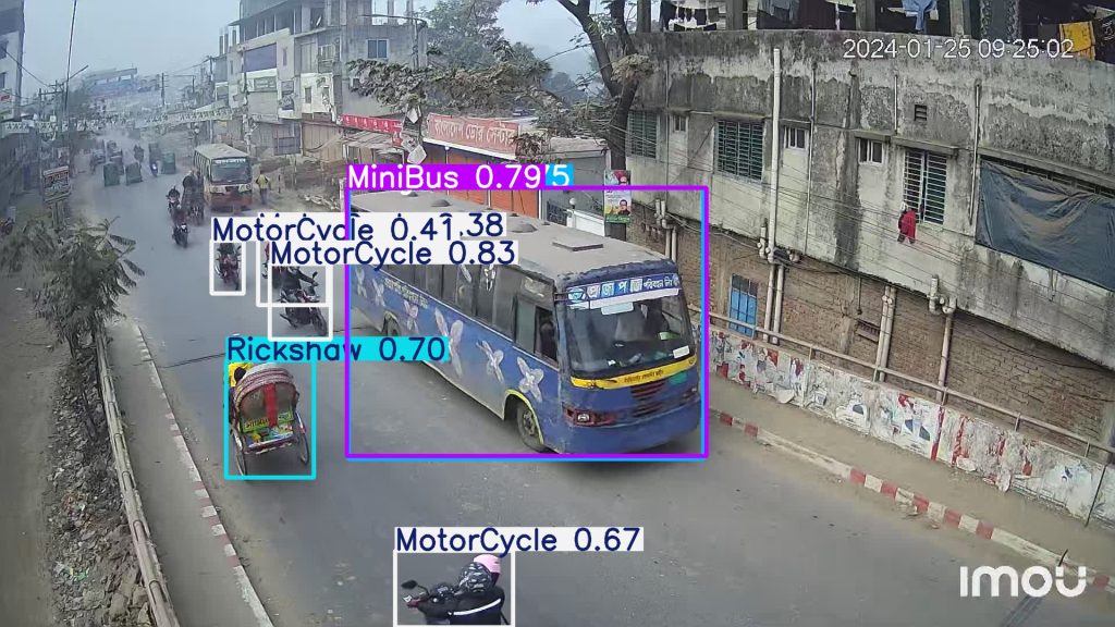
AI-Powered Traffic Counting Using our custom-designed AI applications, we analyze real-time video feeds to accurately count and classify vehicle traffic. Our advanced algorithms ensure precision, even in complex traffic scenarios, helping to optimize traffic flow and reduce congestion.
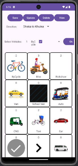
2. Android App Integration Our team leverages Android-based apps for on-ground traffic data collection. These apps are designed for convenience and adaptability, ensuring that our field operators
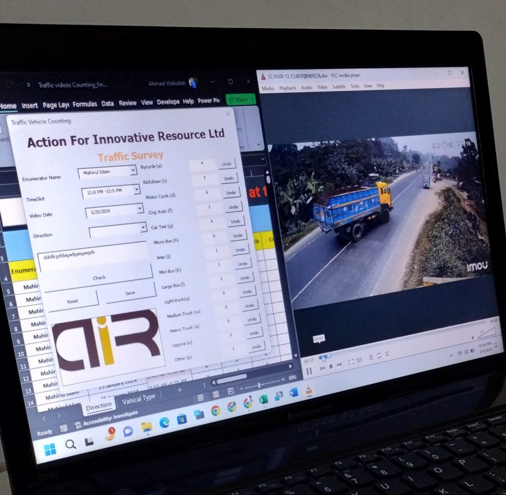
3. Excel-Based Reporting and Traffic Counting To complement our tech-driven solutions, we also use Excel to structure, analyze, and present traffic data. From simple traffic counts to complex trend analyses, our detailed reports offer actionable insights tailored to our clients’ specific needs
A leading research and consultancy agency based in Dhaka, Bangladesh.